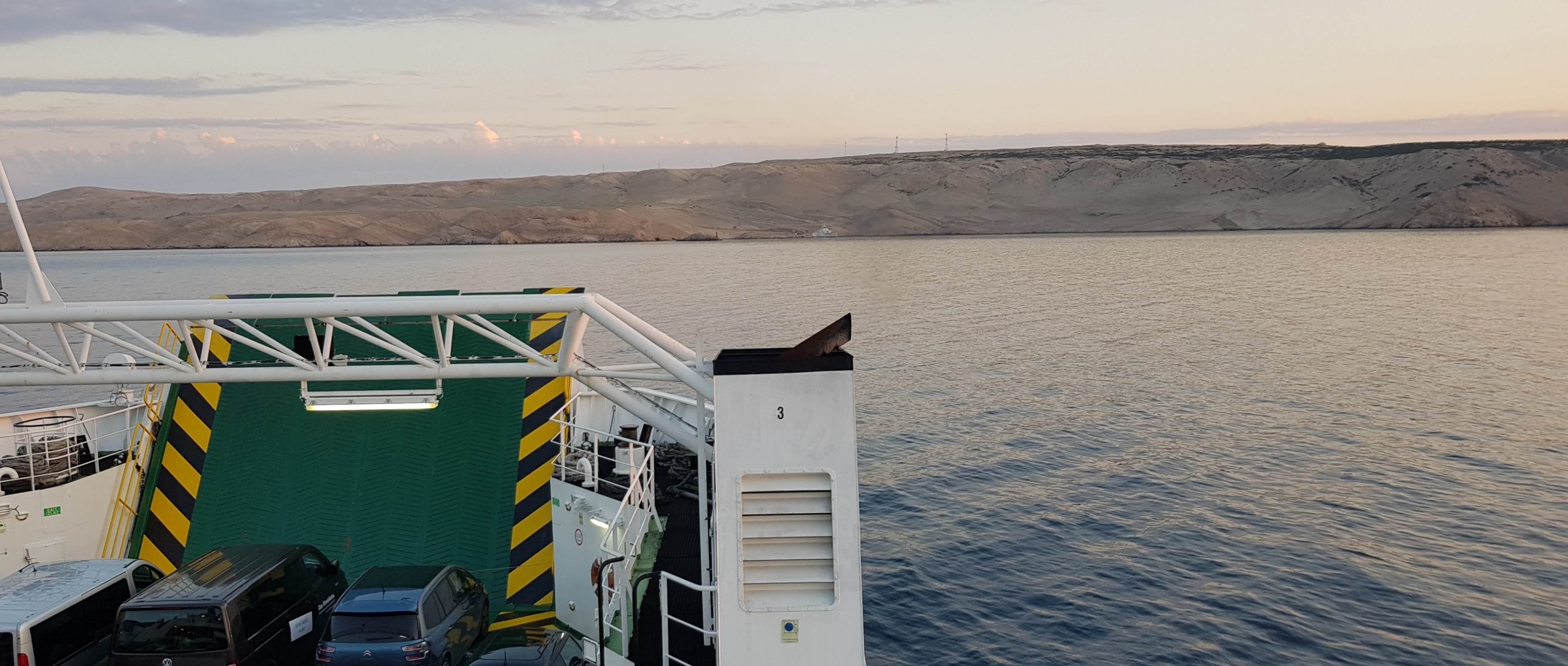
The island of Pag is located in the north of Croatian Dalmatia and belongs to the group of so-called Kvarner islands. The northern part of the island administratively belongs to the Lika-Senj County (town of Novalja), the southern to the Zadar County (town of Pag and the municipalities of Kolan and Povljana) and is thus the only Croatian island that is divided between the two counties. The largest seat on the island is the town of Pag. The island is very elongated in a northwest-southeast direction - with a length of 60 km, the width ranges from 2 to 10 km - and covers an area of 285 km2. It is separated from the mainland by the Velebit Channel (Velebitski kanal), from the island of Rab in the north by the Pag Channel (Paški kanal), at the southeastern end it is about 340 m long Pag Bridge (Paški Bridge) (free of charge) connects from Cape Fortica across the Ljubač Strait (Ljubačka vrata) with Cape Ošljak on the mainland. The coast of the island is divided into several deep bays and its total length reaches 269 km, of which 84 km are pebble and sandy beaches. In the southeast of the island lie the karst lakes Velo blato and Malo blato. The highest point of the island is Sveti Vid (348 m). Near the town of Pag, there are large salinas (Paške solane) with an area of over 3 km², from which salt has long been obtained by evaporating seawater. The 33,000 tonnes obtained each year represent 2/3 of the salt production in Croatia. The largest settlements are the historic town of Pag in the central part of the island and the main tourist resort of Novalja on the northwest coast. The total population of the island is around 8,000, the main sources of livelihood are fishing, salt mining, viticulture and tourism.


